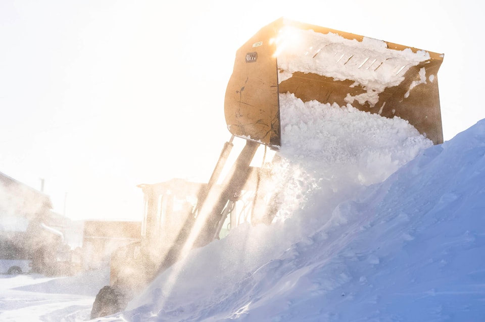
A polar vortex descended into Nunavut and the Kivalliq region, causing record-low temperatures and bitter windchills.
“We’ve had a very, very strong Arctic vortex,” said Brian Proctor, a meteorologist with Environment and Climate Change Canada, adding that some people refer to it as a polar vortex.
Proctor explained that the vortex brought freezing cold air from Siberia over Hudson’s Bay and down into the Kivalliq region.
Rankin Inlet was hit particularly hard, with new record lows of -44 C on Feb. 21 and -43.2 C on both Feb. 1 and Feb. 20. When speaking to Kivalliq News, Proctor expected another record low Feb. 22 as well.
The all-time February low on record for Rankin Inlet was -49.8 C Feb. 15, 1990.
“From what we’ve seen, it’s been a cold February to cold end of January in the area. And really that’s due to the strength of this Arctic vortex more than anything else.”
Arviat also set a new record low on Feb. 21 of -42.4 C, while Kinngait set a new record low of -35.9 C. Proctor noted that March typically sees record lows in the -40s C as well, so the current cold spell is not unusual for the region.
Proctor said that the long-range computer models suggest that much of western Canada and the Arctic will continue to experience below-seasonal values throughout March.
“I think the important thing to remember is we’re still in this period of prolonged cold temperatures with some extreme cold associated with the wind chill,” said Proctor.
“I think it’s important for people to look after their neighbours and the Elders in their communities in these kinds of situations. Check on them to make sure everybody’s OK.”
Despite the current cold snap, Proctor believes that temperatures will return to normal averages by April and May. For now, Nunavut and the Kivalliq are in for more Arctic winter.
